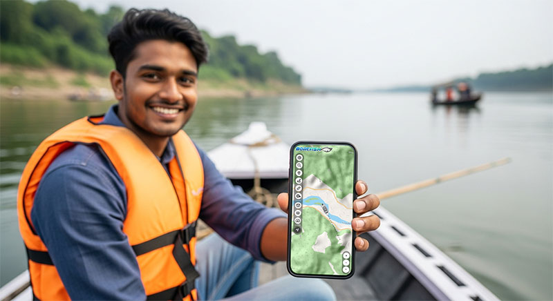
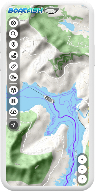
FEATURES
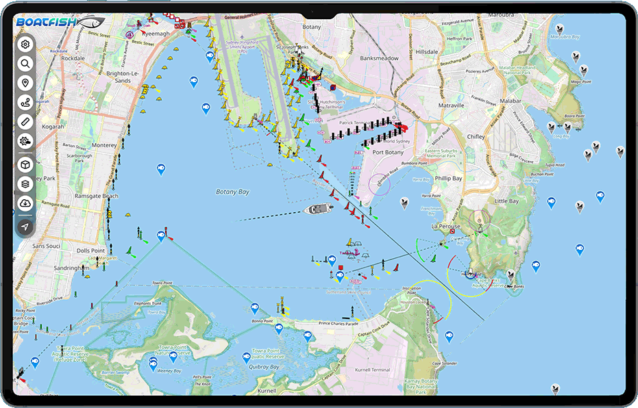
5 Chart Base Maps
Choose from 5 different chart base maps including satellite view for the most accurate navigation experience
Offline Charts
Never get lost again. Navigate without internet connectivity by downloading the chart area you frequently visit or plan to explore.
3D Perspective
Switch from default 2D view to 3D perspective for a better and more immersive navigation experience
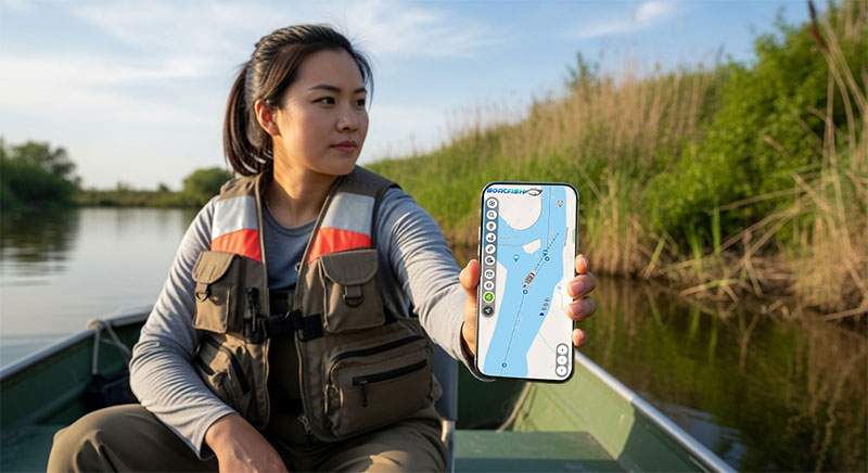
Custom Routes
Create and save custom routes with waypoints to get to your favorite destinations and fishing spots
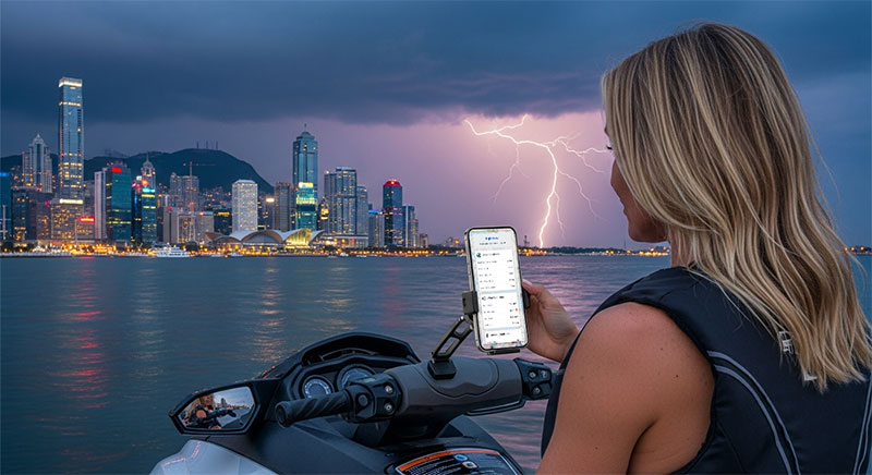
Marine Weather
Real-time marine weather forecasts and boating conditions to help you plan safe and successful trips
Journey Tracking
Track your journey as you travel real-time. Traces your path so you can see where you've been.
Distance Ruler
Multi-point ruler tool for accurately measuring distances between locations and planning your navigation
Custom Markers
Add your own custom markers for fishing spots, boat ramps, hazards, and points of interest
500,000+ Fishing Spots
Access the world's largest database of community-shared fishing spots. Each location includes local language descriptions, fish species information, and precise GPS coordinates for the best fishing experience.
Global Coverage
Fishing spots from every continent, ocean, and major body of water with detailed local knowledge from the community
Fish Species Data
Detailed information about what fish species are caught at each location with recomended bait and techniques as experienced by local anglers
Community Verified
All fishing spots are verified and rated by our active community of anglers and fishing enthusiasts
Local Language
Fishing spot descriptions available in local languages with English translations for better understanding
100,000+ Ship Wrecks
No other marine navigation app offers this comprehensive shipwreck database with fishing-specific information. Discover hidden underwater treasures that provide exceptional fishing opportunities.
100,000+ Shipwrecks
Comprehensive database of shipwrecks worldwide with precise locations and detailed historical information
Detailed History
Ship names, sinking causes, and historical context for each wreck with fascinating maritime stories
Fishability Ratings
Exclusive ratings showing how good the fishing is at each wreck with seasonal recommendations
Fishing Techniques
Specific techniques for fishing each wreck and targeted species information for maximum success